Collaboration
Weave Maps featured in Adressa: Trondheim bets on 3D - Making urban development transparent for everyone

Weave Reality
|
2
minute(s) read

How exactly will the new neighboring building affect your sunlight? And will the new block in the neighborhood be as massive as it looks on paper? Trondheim Municipality has recently launched a new digital map for urban development—and the next step in the journey is a full-fledged 3D view.
In a recent article in Adresseavisen (July 6, 2026), Trondheim Municipality discusses its new initiative, designed to make it easier for everyone to keep track of land-use plans, building applications, and zoning regulations.
Weave Maps plays a pivotal role in Trondheim Municipality’s 3D strategy in this regard.
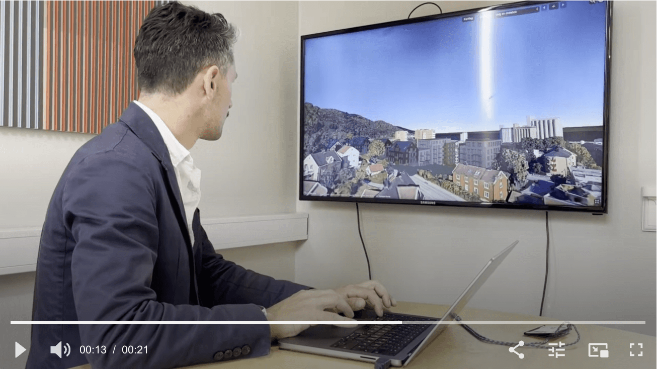
Screenshot from the article in Adressa, showing City Council Secretary Ola Tangvik presenting Weave Maps.
From flat maps to true understanding
Traditional flat maps and 2D drawings have clear limitations when trying to visualize the future. As Ola Tangvik, City Council Secretary for Urban Development, aptly stated to Adresseavisen:
- On a flat map, it can be difficult to grasp what the result will look like once the building is finished. With a 3D feature in the map, you can see, for instance, whether a building planned near your property will block your entire view."
This is the core of Weave Maps. By placing 3D models of planned new buildings into real-world map data from Google - while retaining ownership of their own data - users can explore projects from every conceivable angle. They can assess sight-lines and terrain changes, and see exactly how the new building harmonizes with existing architecture.
Democracy and citizen engagement in 3D
At Weave Reality, we firmly believe that Weave Maps should not just be a tool for case officers, developers, and politicians - but also for citizens. When complex information is transformed into an interactive, visual 3D model, the nature of communication changes:
Increased transparency: It becomes impossible to hide suboptimal solutions behind polished, idealized renderings.
Greater insight: Residents gain a realistic view of changes in their local area.
Informed debate: Discussions during consultation rounds are based on actual visual facts rather than misunderstandings and assumptions.
A fruitful partnership for the future
It is inspiring to see the Municipality of Trondheim taking the lead and committing to the use of accessible, secure technology. We are proud to be part of Trondheim’s 3D initiative and look forward to continuing our productive collaboration with the City Planning Office.
Together, we are making urban development more understandable, engaging, and accessible to all residents of the region.
Would you like to know more about how Weave Maps can foster greater transparency in urban development projects in your municipality? Please feel free to contact us for a chat.