Collaboration
New Guide for Contractors: Files Supported by Weave Maps

Weave Reality
|
2
minute(s) read
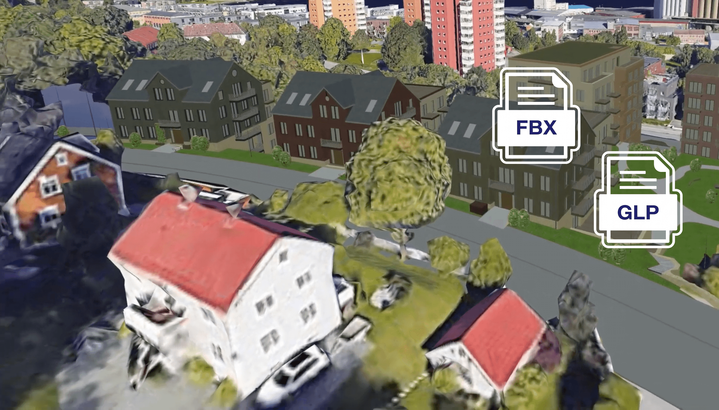
You have a construction project you want to evaluate in 3D, but you may not know exactly what to ask the contractor for to make it possible. What format should the model have? Is it too large? Does it actually fit into the terrain? The questions are often many. Now, city planning offices no longer have to be technical experts themselves. We have launched the guide that does the job for you.
A Shortcut to the Right File Format
We often see the dialogue between the city planning office and the developer getting stuck in technical details about file formats and coordinate systems. To solve this, we have developed a standardized guide for 3D models.
The idea is simple: The next time a contractor is to submit a project for evaluation, the caseworker can simply attach the guide and say: "Deliver the model in accordance with these requirements."
When the developer follows this recipe, the model can be uploaded directly to Weave Maps without the need for time-consuming troubleshooting or manual adjustments.
What Does the Guide Contain?
Without going too deep into the technical aspects, the guide provides clear guidelines that ensure optimal quality and speed of viewing. The guide is available in its entirety on our users' portal. Here are a couple of examples of what we help developers achieve:
Correct Level of Detail: We don't need to know where every single screw is located. The guide explains how to export models that are light enough to run seamlessly, but detailed enough to give a realistic impression (if detail is desired).
Seamless Placement: By including simple reference points (such as two neighboring houses or a road), the developer ensures that the new building lands exactly where it should in the digital map.
Preferred File Types: We simplify handling by requesting standardized formats such as GLB or FBX, which allows us to quickly make minor adjustments if needed.
Would you like to better understand how Weave Maps works in practice? Contact us for a demo, and we'll find out if it's a match.